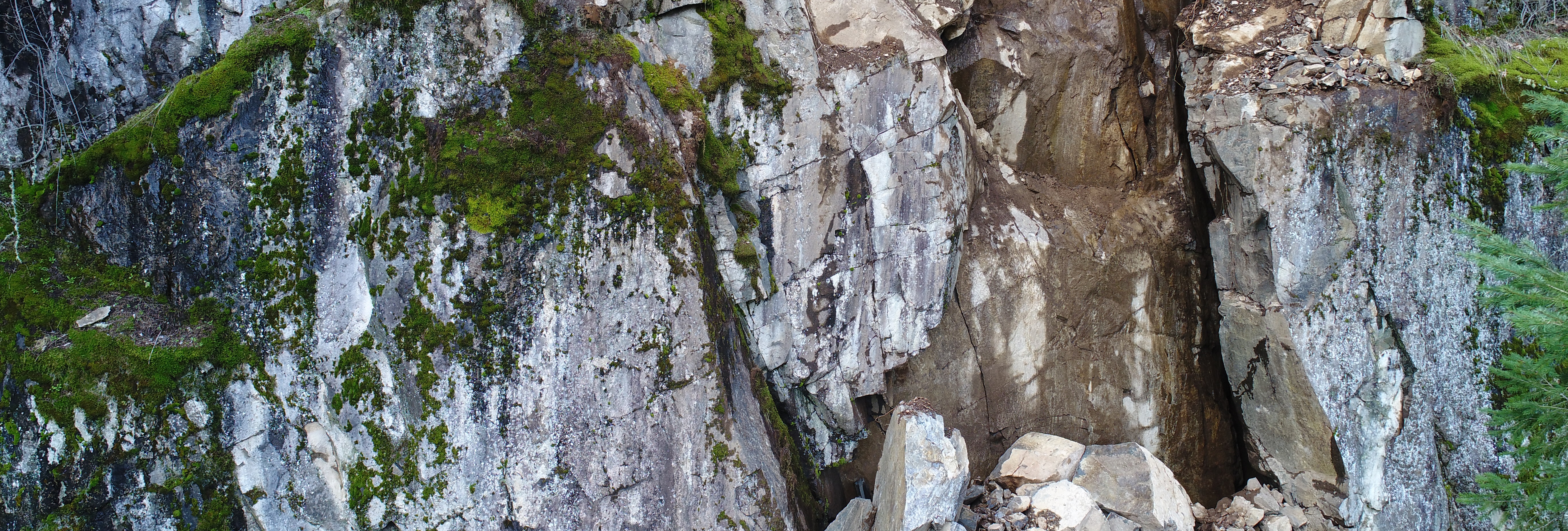
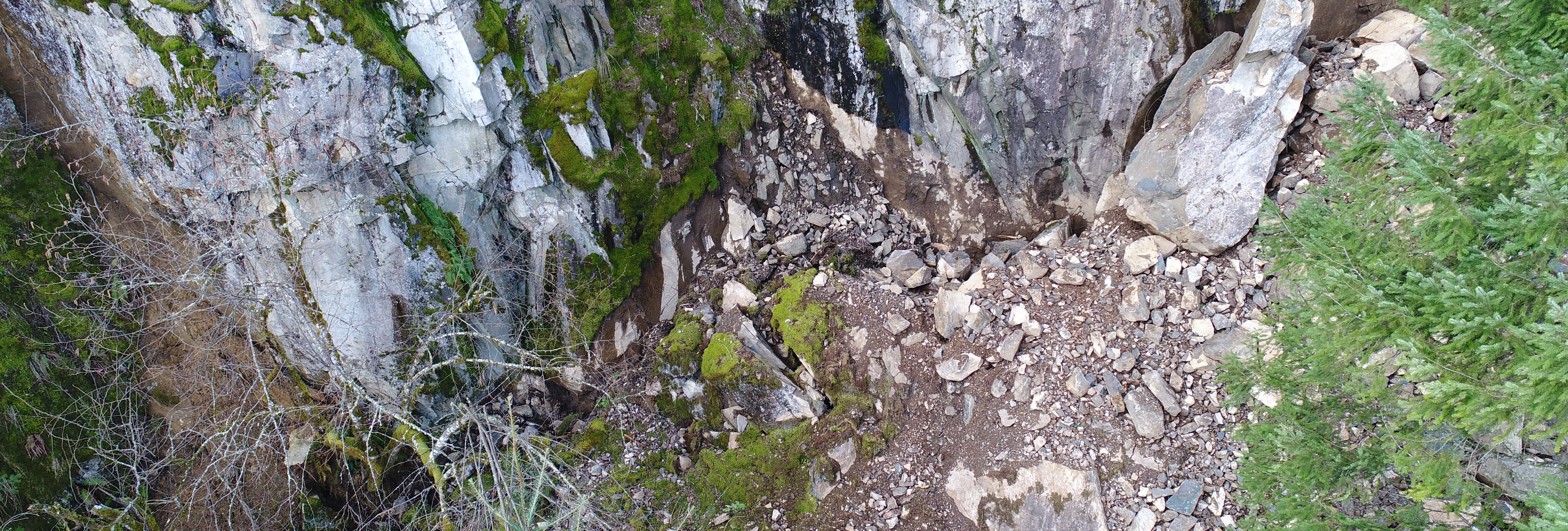
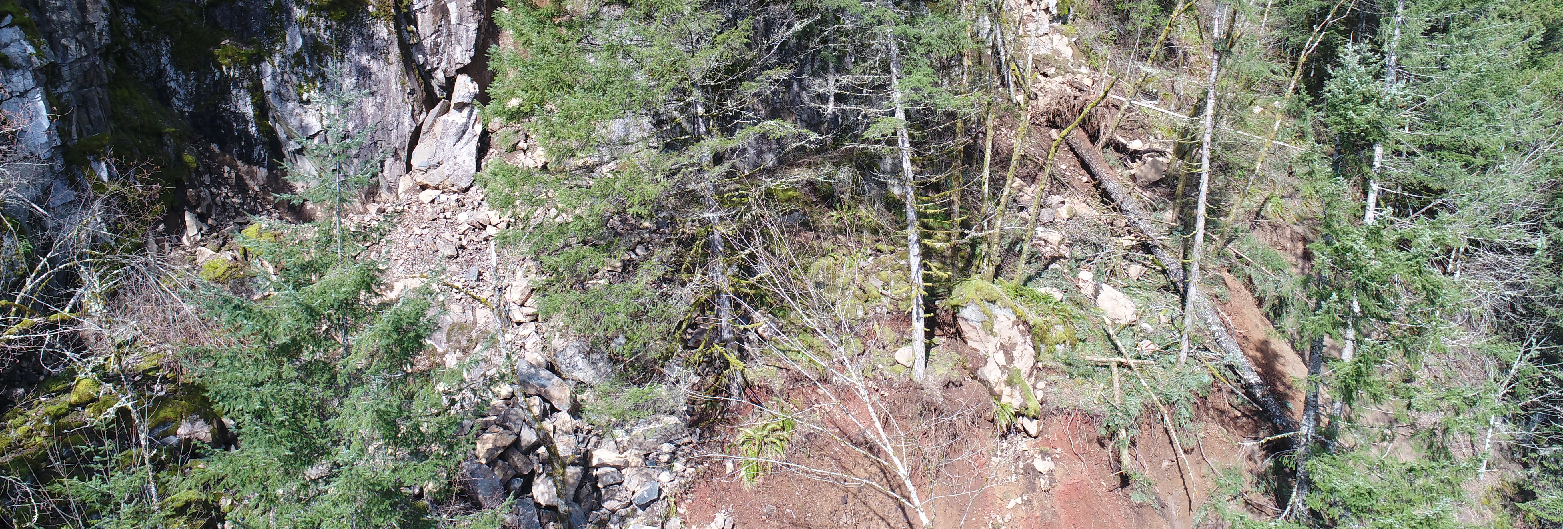
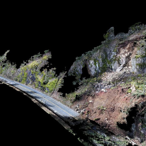
The Washington State Department of Transportation (WSDOT) contacted MacKay Sposito about an emergency response UAV flight to respond to a landslide on SR 503 near Speelyai Recreation Road.
Our deliverables included:
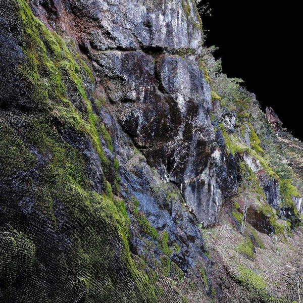
.jpg?width=400&name=SR503%20Closup%20Inspection%20of%20unstable%20area%20(Photo).jpg)
In mid-March of 2017, the Washington State Department of Transportation (WSDOT) contacted MacKay Sposito about an emergency response UAV flight to respond to a landslide on SR 503 near Speelyai Recreation Road. The call came on a Tuesday evening and we were able to review flight restrictions, plan our flights and necessary ground survey control, and mobilize for the flight within 48-hours, as determined by weather conditions.
At MacKay Sposito, we deliver infrastructure solutions and excellence in leadership while advocating for a better tomorrow. We focus on people, building strong and lasting relationships with our co-workers, clients, and communities. Our Civil Engineers, Land Surveyors, Construction Managers and Inspectors, and Landscape Architects stand in your corner and demonstrate selfless dedication because we believe in the work you do and the value it provides to our communities.
We serve so our communities thrive.